Our first hike from our new home location was in Black Diamond Mines Regional Reserve. We planned the hike one day before, bought enough food (two bagels for me, one bagel for Lumi, fruits, and some sweets) and around 3l of fluids. The drive took less than an hour from Albany, CA and parking costs 5$.
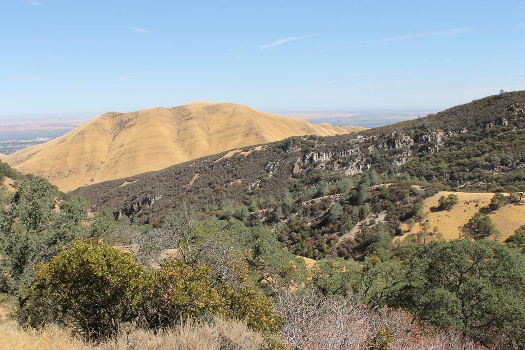
Picture time
The following pictures were taken during our Black Diamond hike.
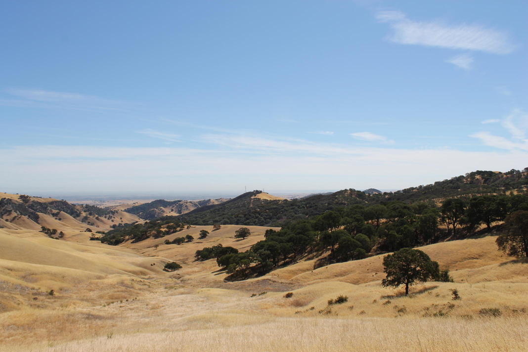
View of Summerville.
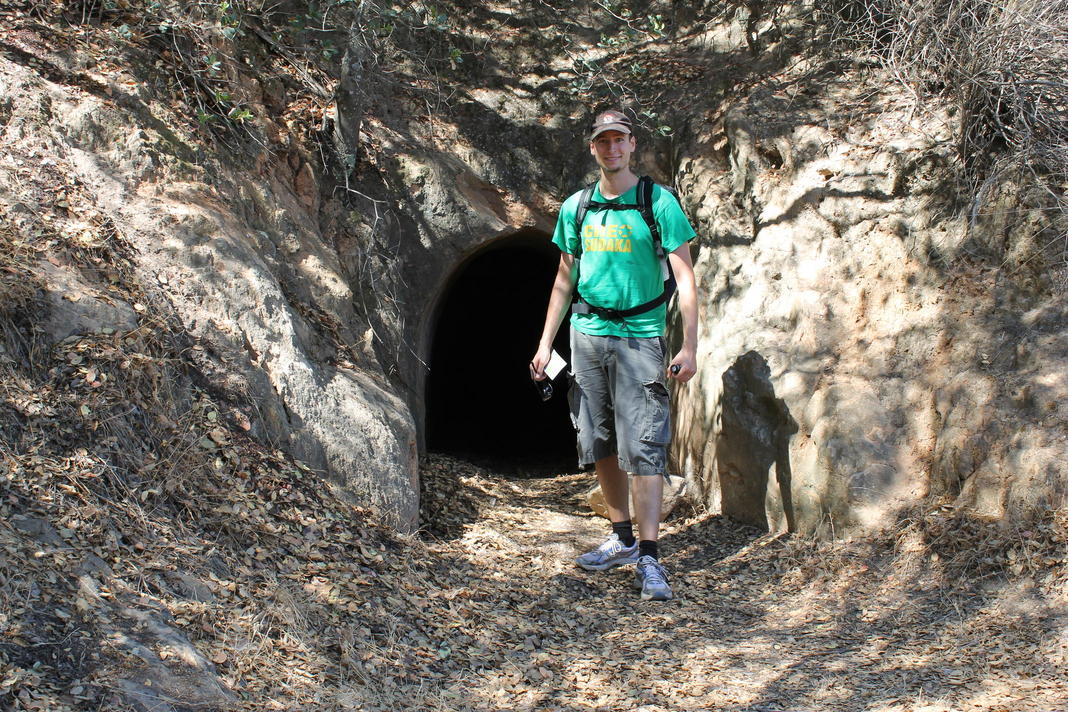
The old airshaft.
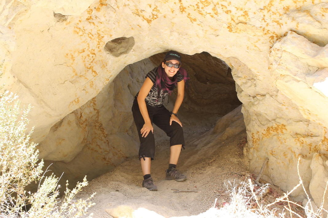
Lumi tries to hide.
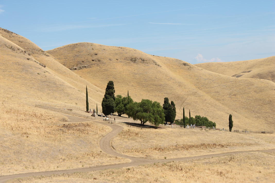
The Rose Hill cemetery.
Special detour: entering the mine
After our lunch we went to the Hazel Atlas mine for the grand tour. While we waited for the tour to start we strolled to the gun powder depot that was nearby and accidentally found a GeoCache. The tour of the mine was very interesting, although they only showed us the silica mine that was mined to gather resources to make glass. The black diamond (coal) mine is closed to the public due to structural instabilities.
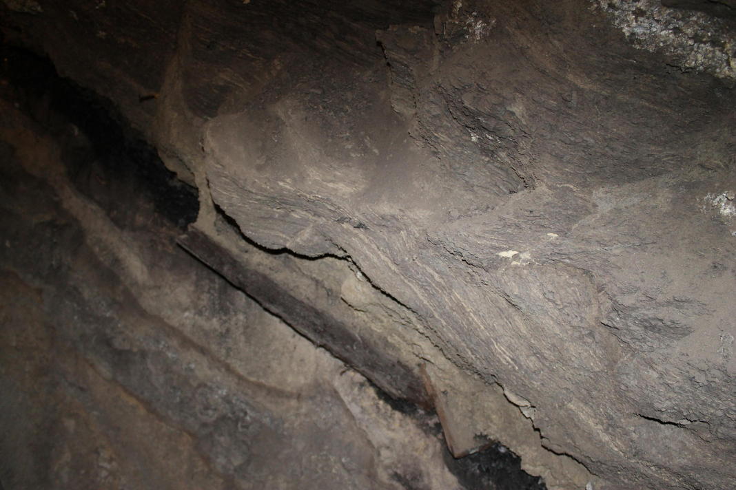
The above image was taken at the entrance of the silica mine. The image shows a collapsed part of the coal mine. The little dark layer in the middle is all that is left from a coal mine shaft after the coal has been mined. This is the reason why the remaining parts of the coal mine are not open to the public. The silica mine is structurally more stable and is therefore open to the public.
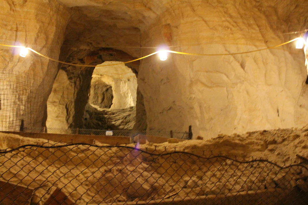
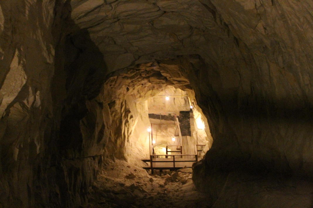
The above image shows the view into one of the cross shafts from the main tunnel.
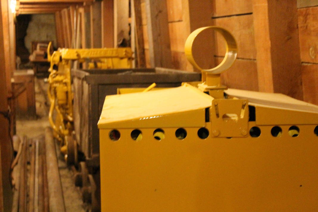
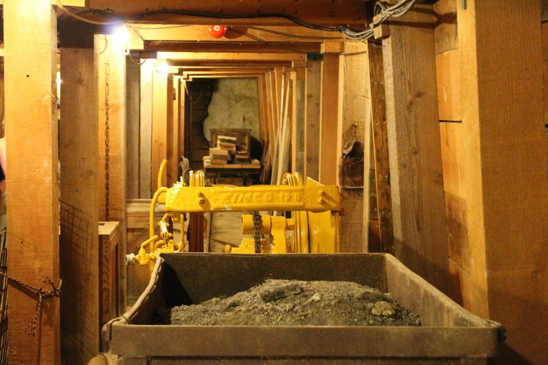
The picture above and below show old trains used to transport the silica out of tunnel.
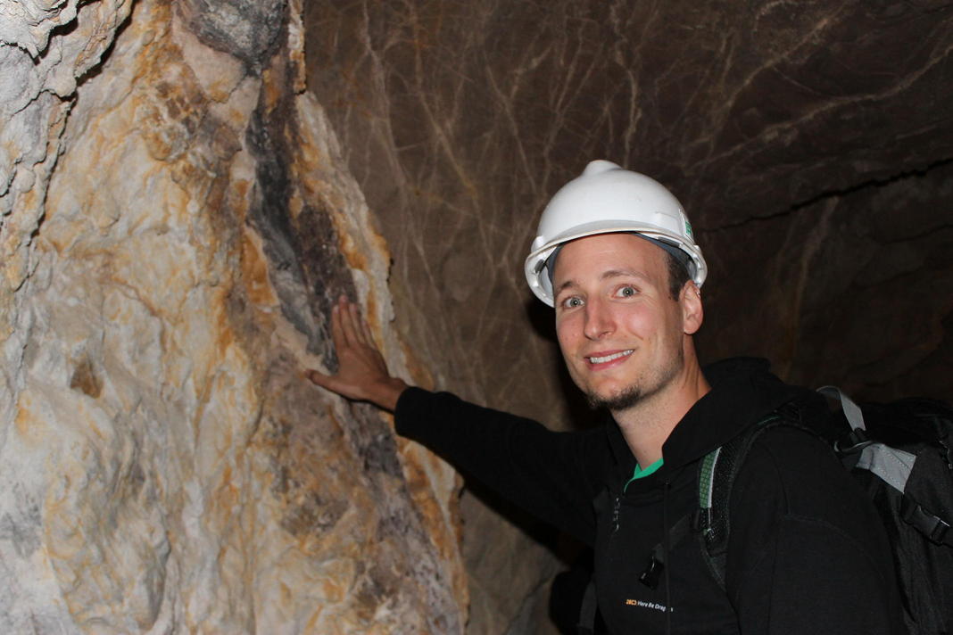
The above picture shows me touching the fault line that runs in the tunnels below. Amazing feeling!
Another picture into a side tunnel that was used to dig out the silica.
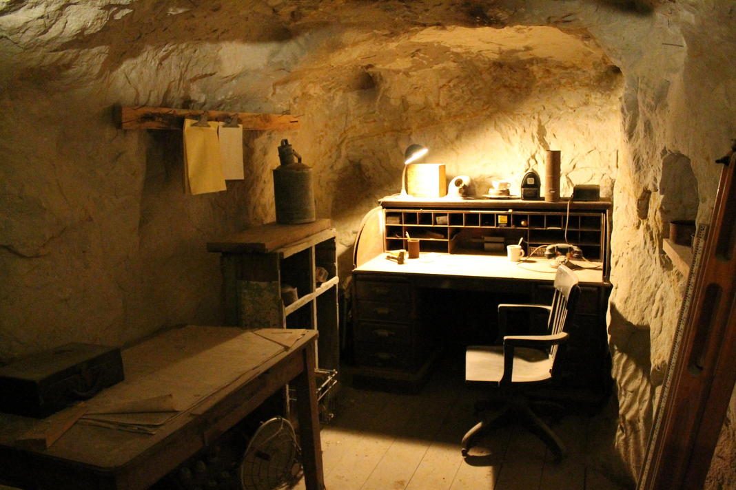
The picture above shows the control room (or a replica thereof) with all the old utilities and the old work desk.
Summary
All in all we enjoyed this fun hike and had a great time. The mine tour made it very interesting as well, the last time I visited a mine was as a kid! This hike is great for families too, maybe limit yourselves to only the shorter loop, or up to the cemetery - the kids can play during the hike and then enjoy the mine tour. Explore the park and the mines!