Angel Island is a multi-purpose island that is right in the middle of the bay and surrounded by the three big bridges: Golden Gate bridge, Bay bridge, and Richmond bridge. Over the years the island was used for a whole bunch of things, including a hunting ground for native Americans, a Quarantine station for people immigrating to the US, an Army station, and last but not least Angel Island turned into a national park.
Hike description
The ferry ride from Tiburon to Angel Island is short but very scenic with amazing views of the San Francisco skyline and the Angel Island wild life. We dropped off the ferry at the Ayala cove and started climbing up the North ridge trail until we reached the fire road. The fire road is a broad road that continues around the island. After following the fire road for a bit we followed the Sunset trail up to the Summit of Mount Livermore. Depending on which side of the island you are you are rewarded with awesome views of Tiburon and the back country, the Golden Gate bridge, the San Francisco skyline, Alcatraz, the Bay bridge, Yerba Buena and Treasure Island, Oakland, or the Richmond bridge. On the top of the hill you only have to turn around to switch between these views.
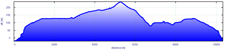
The super high hill is a whooping 260m high.
The hike was fairly easy and we found plenty of time to indulge in the view and to find a couple of GeoCaches on the way. View Map
Summary
All in all it was a very relaxing day and we enjoyed our special day on this beautiful island. The island is great for families too as there are many BBQ places and play grounds. Go there for the amazing views and the laid back atmosphere. There are not too many trails and they might be crowded, especially in summer.